Golden Standard.
Delivering uncompromising precision and definitive legal boundaries for commercial developments, municipal infrastructure, and residential expansions across the Denver metro area.
- ALTA/NSPS Commercial Land Title Surveys
- Subdivision Design & Municipal Platting
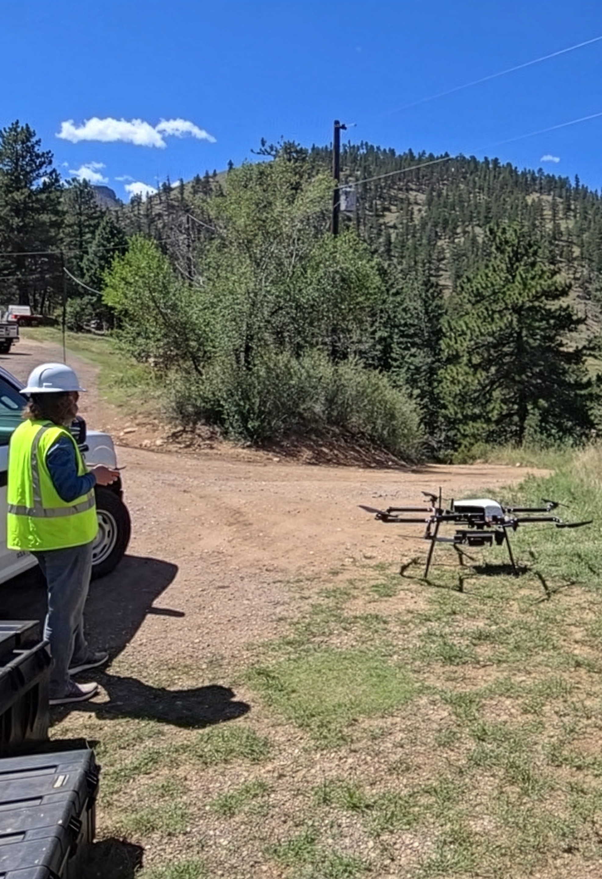
- UAS Aerial Topographic Mapping
Core Capabilities
Boundary Surveys
Precise delineation of property lines, resolving ambiguities and establishing unshakeable legal boundaries.
ALTA/NSPS Surveys
Exacting land title surveys meeting strict national standards for commercial real estate transactions.
Topographic Mapping
Detailed surface mapping and elevation data crucial for architectural design and engineering.
UAS & Aerial Mapping
High-resolution drone photogrammetry for rapid site mapping and volume calculations.
Subdivision & Platting
Navigating local municipal codes to expertly draft and record subdivision plats and lot line adjustments.
LiDAR Scanning & Extraction
High-density 3D laser scanning delivering millimeter-accurate point clouds for complex architectural modeling and bare-earth terrain extraction.
Uncompromising Standards & Technology
Precision GNSS/RTK
Utilizing the latest satellite positioning equipment to ensure millimeter-level accuracy.
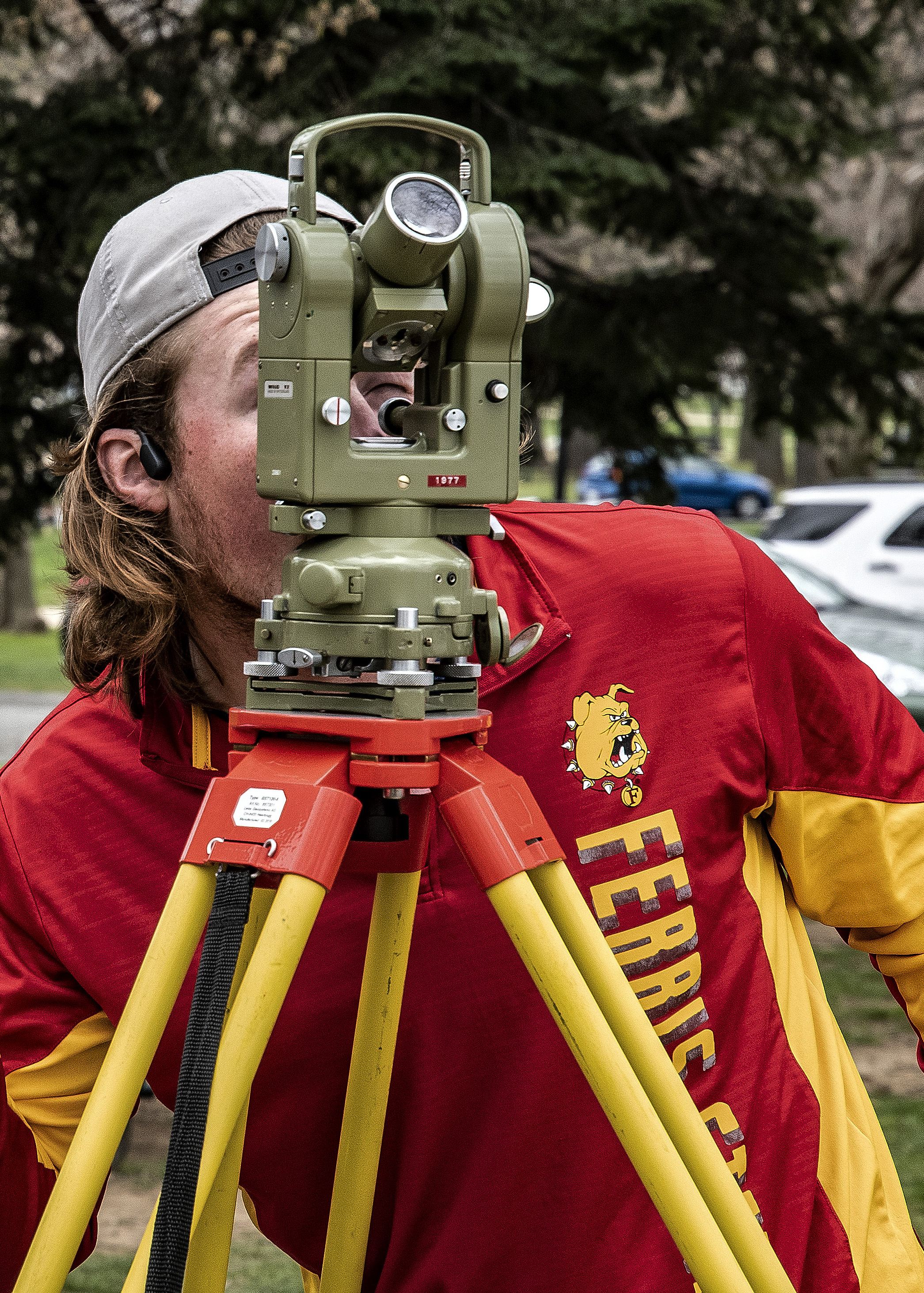
Robotic Total Stations
High-precision optical instruments for complex construction staking and tight urban boundaries.
Advanced AutoCAD
Delivering clean, universally compatible, and highly detailed drafting deliverables.